
Find People Along San Leandro Streets
The street directory workflow begins with a complete address. Standardize the mailing form through USPS, confirm the city line and ZIP, then use the Alameda County property map. The map does not provide an owner-name search. It supplies the parcel identity and a latest-document clue that lets the Recorder take over. That handoff keeps a street inquiry tied to a real parcel instead of a guessed surname.
Walk one address at a time. A neighboring parcel may have a different APN, mailing address, ownership chain, or city service even when the front doors share one block. Save the source date and the exact fields before moving to a second office.
- Enter the street address or APN in the Alameda property portal and save the APN, situs, mailing fields, values, exemption fields, and latest document prefix, series, and date.
- Open the GIS map, click the selected polygon, and then click nearby polygons when the goal is a street segment.
- Use the latest instrument clue at the Alameda Clerk-Recorder to find the grantor and grantee, then match the legal description.
- Add address evidence from San Leandro permits, CityDash, or a focused public-record request when the project history matters.
- For older listed occupants, check Haines or Polk volumes, census schedules, newspapers, and dated maps.
San Leandro Street GIS Fields
The Alameda County property portal is the core address tool for the San Leandro street directory. Its search accepts an address or parcel number through autocomplete. A partial match searches the county and returns a maximum of six suggestions or results. If the suggestion list misses the exact form, the map can be reached through a San Leandro bookmark and a parcel can be selected by geometry.
The public parcel layer is deliberately narrower than a person directory. The inspected result exposed the APN and its book, page, parcel, and subparcel pieces; situs number, street, unit, city, ZIP, and ZIP+4; land and improvement values; CLCA values; homeowners exemption and other exemption; total net value; latest document prefix, series, and date; mailing fields; use code; economic unit; and composed situs and mailing addresses. It did not expose a public owner-name field or sketch.
| Address or parcel | Autocomplete text; one term is enough, with partial matching and a six-result maximum. |
|---|---|
| Map parcel | Click a polygon to open its popup; no text name search is required. |
| Street fields | Situs number, street, unit, city, ZIP, ZIP+4, and a composed situs address. |
| Assessment fields | Land and improvement values, CLCA, exemptions, total net value, use code, and economic unit. |
| Recorder pivot | Latest document prefix, series, and date guide a party-index or copy request. |
| Missing field | The public layer has no owner-name field, so an address search must not be presented as a name search. |
A map click is the fallback when the autocomplete does not fit an old street form. It also helps when a street has units, a corner parcel, or an address that was renumbered.
Walk San Leandro Streets In GIS
The GIS viewer includes zoom, Home, My Location, Overview, Measurement, Bookmark, Basemap Gallery, Layer List, About, and attribute-table controls. The selected polygon opens the parcel popup. Then a street-by-street pass is a repeatable sequence: close the first popup, click the next polygon, save its APN and address fields, and keep the parcels in order. Measurement can show distance or area, but it does not create a named radius list.
Layer controls can change visibility range, transparency, labels, order, popups, and details or downloads. These tools are useful for understanding a block, subdivision, or street bend. They are not evidence that every visible building is a separate household. A parcel may contain a commercial use, a shared structure, a vacant lot, or a mailing address outside San Leandro.
The Alameda parcel viewer is the address-first entry point used by the street directory.
The parcel-viewer image shows why the address stage comes before a named deed search: the map establishes the land unit and its current clue.
San Leandro Records By Street
Several record sets can be walked in address order, but they do not all list people in the same way. The Assessor and GIS provide parcel context. The Recorder names parties to instruments. City permits attach activity to an address. A qualified voter-file extract can answer a permitted registration question, while the self-service voter tool cannot browse a street. Haines reverses the historical directory from name-first to address-first.
| Record Set | Keeper | Street Evidence | Access |
|---|---|---|---|
| Parcel assessment | Alameda Assessor | APN, situs and mailing, values, exemptions, latest instrument | Free public map |
| GIS parcel map | Alameda Community Development Agency | Parcel geometry, popup fields, layers, measurements, adjacent polygons | Free viewer |
| Deeds and liens | Alameda Clerk-Recorder | Named parties, instrument type, recording event, legal description | Free index; copies cost |
| Building permits | City of San Leandro | Address, parcel, project, applicant, status, inspection evidence | Portal and request routes |
| Voter file | California Secretary of State | Registration fields only through a permitted channel | Personal or qualified access |
| Criss-cross directories | San Leandro and Oakland libraries | Historical address, listed occupant, and often phone clue | Library use |
The APN is the durable link. Street names can change, while the parcel and legal description keep the current map tied to a recorded instrument. The Alameda County Registrar of Voters is the separate route for registration, elections, and qualified data resources; its self-service tool is not a street roster. A street directory result should state which source supplies each part of the chain.
San Leandro Street Permit History
The city's Accela Building portal adds address evidence that a deed cannot. The official guide says to enter only the street number in Property Address, click Search, and let the GIS populate the known streets. A guided record can then attach an associated parcel and owner, applicant, licensed professional, attachments, permit number, inspection scheduling, and project status. Account-linked search and anonymous result visibility have limits, so an absent web result is not proof that an address has no permit history.
Published statuses include Submitted, Additional Info Required, Awaiting Client Reply, In Review, Plan Review, Ready for Inspection, and Issued. Building and Safety can be reached at 510-577-3405. Permit Center hours are Monday, Tuesday, and Thursday from 8 to 4, Wednesday from 8 to 3, with lunch from noon to 1, and Friday closed. Walk-ins are accepted, although appointments are preferred. Code complaints use MySL or 510-577-3363.
When historical documents are absent online, a San Leandro public-record request can identify the address, record type, and date span. The city need not create a new street roster, but it can search an existing record series. The California Attorney General's CPRA explanation summarizes determination timing, copying costs, and exemptions.
The linked Accela entry point shows the city's permit route.
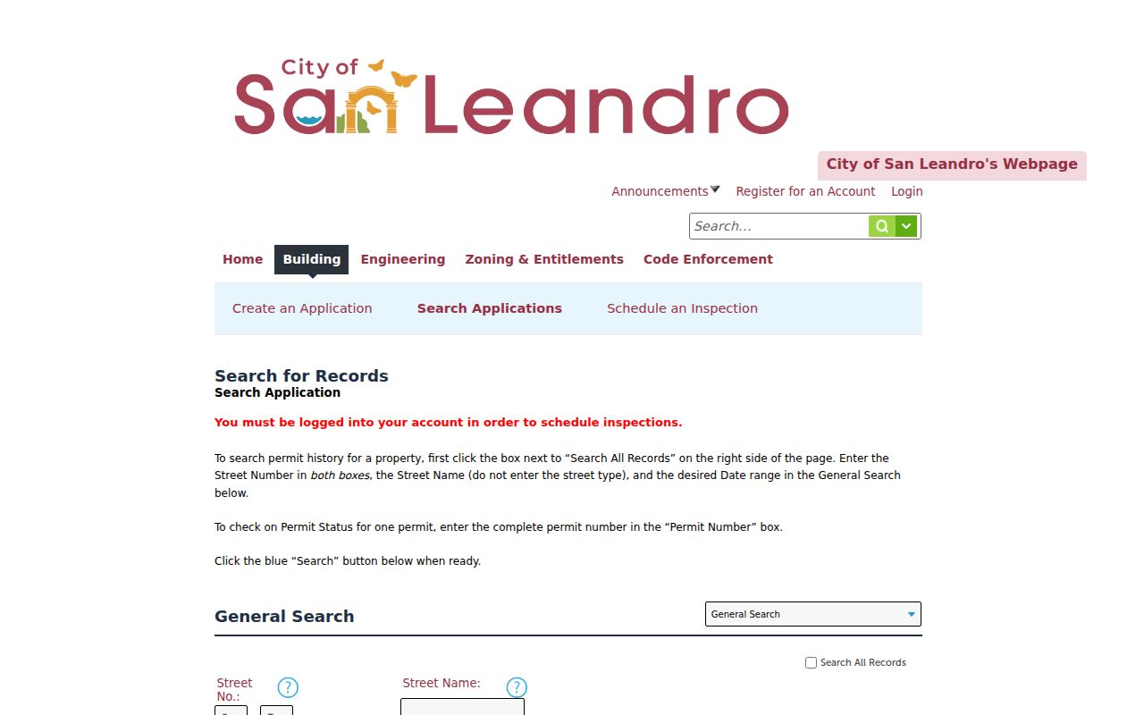
Permit status is project evidence. It should not be restated as proof of who occupied an address.
Deeds Along A San Leandro Street
The Recorder's index is alphabetical by party, not searchable by street. Use the parcel map to obtain the latest instrument prefix, series, date, or book and page. Then retrieve the purchase deed and note the grantor, grantee, legal description, recording date, and title form. A grantor is the party transferring an interest; a grantee receives it. Searching the seller as an earlier grantee can move the chain backward, but each step needs an APN or legal-description match.
The electronic party index covers 1969 to the present. Alameda County's property archive begins in 1853, and records from 1853 through 1968 use alphabetical microfilm in person at 1106 Madison Street. Copy orders need an instrument number, book/page, or reel/image. A copied deed's prior-instrument reference may be a faster bridge than a broad surname search.
The Clerk-Recorder's service hub is the official Alameda deed-index route. Index research is free, plain copies are $3.50 per page, certified copies are $4.50 for the first page plus $3.50 for each additional page, and the online order fee is $2. Mail requests are stated as five to ten business days. The county's directions and hours page also lists the counter address, telephone numbers, cutoff times, and payment methods. The office says noon to 2 is the busiest time, printing stops at 4:15, and recording stops at 4:30.
A deed establishes a recorded interest. It does not identify every person at the address. The street directory must keep that distinction visible.
Haines San Leandro Street Directory
The San Leandro History Room holds city directories from 1925 through 1965, but the Oakland Public Library shelf adds the address-first run that is most useful for a later street inquiry. Haines East Bay and Southern Alameda criss-cross volumes cover 1973 through 1982 and 1984 through 2019, with a documented 1983 gap. Read the street section, find the house number, and record the listed occupant or phone clue exactly as printed.
A criss-cross directory reverses the usual name-first format. It can help locate a past household between census years and can show that a street number existed in a given year. It can also omit a person, carry a former number, or reflect a listing decision rather than every household. Pair it with a deed, Sanborn sheet, newspaper, or census entry before treating a name as settled.
Polk combined Hayward and San Leandro volumes include 1948 and 1951. San Leandro issues include 1955-56, 1959, and 1965. The historical shelf is covered fully in the San Leandro city directory collections, while this street directory uses those collections only for the address step.
San Leandro Street Name Change
Address continuity is a local research problem, not a minor spelling issue. A History Room caption identifies Washington Market at Ward Street, “now Estudillo.” That clue can explain why a modern street search does not find an earlier directory entry under the current name. The answer is not to repeat the same query. Search the older street label in a directory, newspaper, deed index, and dated map.
The 379 Herma Court research packet supplies a second pattern. Herma Court does not appear until 1925. A 1928 Sanborn map and the 1940 census and directory helped identify taxi driver Benjamin Conde and his wife in the local house-history example. The missing early street is evidence about development and timing, not evidence that the parcel was simply overlooked.
Use a legal description, APN, tract instrument, or stable parcel geometry to bridge the old and new labels. A street directory built around current spelling alone will lose the people who appear under the former road name.
San Leandro Street Address Terms
Four address ideas can appear in one parcel result. They answer different questions and should not be merged.
- Parcel
- A mapped land unit identified by an APN. One parcel is not automatically one home or one household.
- Situs address
- The physical location of the land or structure. It is the best starting point for map and permit work.
- Mailing address
- The place used for assessment correspondence. It may be outside San Leandro or belong to an organization.
- Plat and legal description
- The recorded land description that can remain useful when a road is renamed, renumbered, or rebuilt.
- Criss-cross directory
- An address-first historical directory that may list an occupant or phone but is not a complete resident roll.
USPS standardizes the postal form. GIS verifies parcel and city context. The Recorder establishes recorded instruments. A careful street directory keeps those layers separate in its notes.
What San Leandro Street Directory Misses
No public source presents every person connected to a street. The Assessor map omits a public owner-name field. The Recorder is party-indexed. The voter status tool is personal, and a qualified voter file requires an allowed purpose. City permits show a project and its participants, not every household member. DMV information, utility customer details, delivery records, protected addresses, and confidential records are not general resident lists.
A tax mailing address and a situs address can differ. A homeowners exemption can support a careful principal-residence inference, but its absence does not prove anything about occupancy. A listed Haines occupant may be a useful historical clue, but a directory omission does not prove an empty address. When a same-name party appears, use dates, role, middle initial, APN, and legal description.
When the question shifts from a whole street to one person, the San Leandro resident lookup supplies the tighter verification workflow.
Older San Leandro Streets Need Counter
Modern web tools are not the whole street directory. If a deed trail stops at 1969, move to the microfilm party index at the Oakland Clerk-Recorder. Bring every spelling variant, party role, approximate date, legal-description clue, and parcel reference. If an address vanishes, test Ward and Estudillo, the 1925 Herma Court boundary, subdivision records, and Sanborn sheets.
The fallback chain is clear: parcel and APN, latest instrument, named party, earlier deed, microfilm, then historical directories, census, newspaper, or probate. Each source covers a different time and question. That is slower than a single click, but it is more likely to preserve the correct San Leandro street history.
Note: The county says noon to 2 p.m. is busiest, so a counter visit is easier to plan outside that window.