
Three San Leandro ZIP Codes
San Leandro's library policy explicitly names 94577, 94578, and 94579. Those are the three verified ZIP codes used for the incorporated city. Practical neighborhood descriptions help orient a search, but ZIP edges do not necessarily follow neighborhood names, the city line, or a single service area. The safest ZIP code directory practice is to verify the complete address with USPS and then confirm the parcel and jurisdiction in Alameda GIS.
The coverage table describes the local pattern without inventing a ZIP split year, population count, or public ZIP-wide owner filter. USPS stations are postal points, not proof of municipal boundaries.
| ZIP | Practical Areas | USPS Station | Boundary Note |
|---|---|---|---|
| 94577 | Downtown and Civic Center, Estudillo Estates, Broadmoor, Bancroft, northern and marina or industrial west | San Leandro, 1777 Abram Ct. | Central and northern city; neighborhood edges are not ZIP lines |
| 94578 | Floresta, Halcyon/Foothill, Bay-O-Vista, eastern hills, East 14th corridor | South San Leandro, 14500 E. 14th St. | Extends into unincorporated Alameda County and Ashland |
| 94579 | Washington Manor/Manor, Marina Faire, Mulford Gardens, southern city | Washington Manor, 921 Manor Blvd. | Southern incorporated area; verify parcels at edges |
Do not use a postal city label alone to decide whether a property is inside San Leandro. The ZIP code directory begins with mail geography and ends with parcel and city verification.
San Leandro 94577 Northern Core
94577 is the practical ZIP for downtown and the Civic Center, Estudillo Estates, Broadmoor, Bancroft, northern neighborhoods, and the marina or industrial west. The San Leandro station at 1777 Abram Court and the Estudillo station at 1319 Washington Avenue are the documented USPS points. A neighborhood edge can cross a postal edge, so a city-directory search should use the complete address rather than a neighborhood name.
The Northeast General Plan areas retain 1910-40 street grids and older Craftsman or Mediterranean building patterns. That history can make Sanborn maps, early deeds, newspapers, and the local city directory shelf more useful for older address research. ZIP 94577 does not itself reveal owners or every resident. Use it to sort mail geography, then pass the address to the parcel map.
The USPS city and state interface gives the broad postal check for the ZIP code directory.
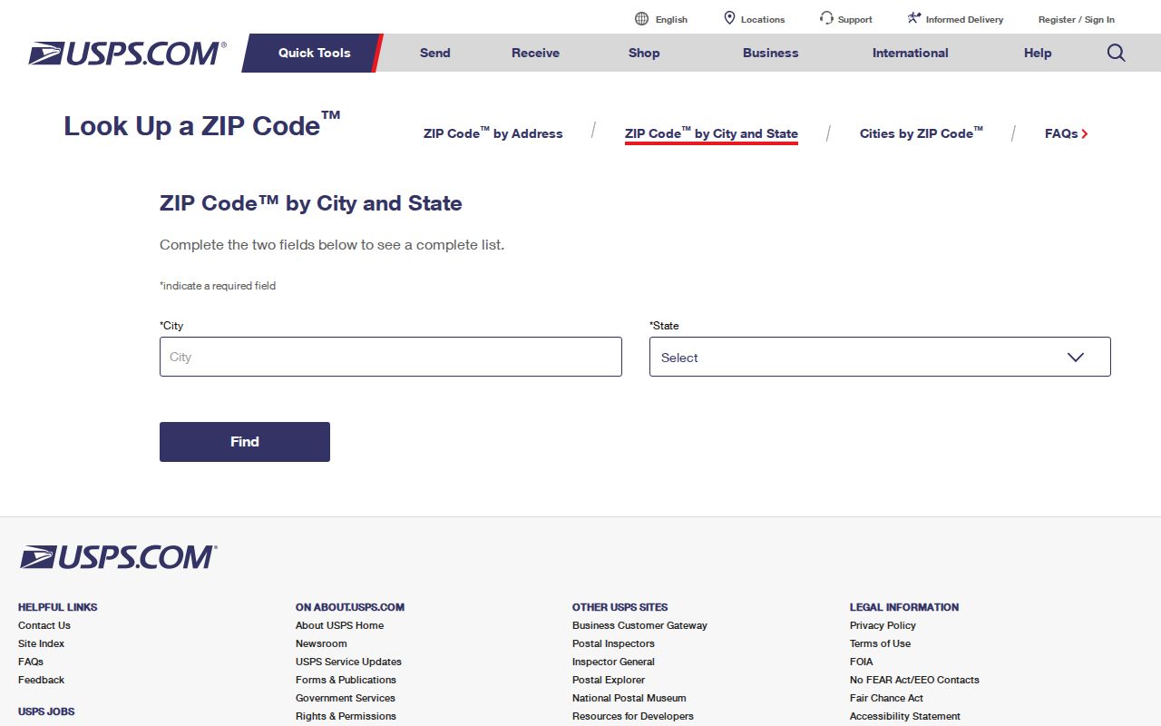
The postal result is a starting boundary clue, not a city jurisdiction result.
San Leandro 94578 City Line
94578 covers practical eastern San Leandro areas such as Floresta, Halcyon or Foothill, Bay-O-Vista, the hills, and the East 14th corridor. It also extends into unincorporated Alameda County and Ashland. That is the central ZIP code directory trap: an address can carry a San Leandro postal label while county rather than city services govern the parcel.
When a 94578 address is near the edge, confirm the city in the Alameda property map, check the parcel's situs, and then identify the office that controls the record. A city permit, city code case, or city public-record request should not be assumed from the postal city alone. A county deed or Assessor record may cover both incorporated and unincorporated land.
This geography is useful for personal and family-history research because it prevents an address from being filed under the wrong government unit. It is also why a ZIP-wide resident list would be misleading even if one existed.
San Leandro 94579 Southern City
94579 is associated with Washington Manor or Manor, Marina Faire, Mulford Gardens, and the southern part of incorporated San Leandro. The Washington Manor station is at 921 Manor Boulevard. Verify an edge parcel with USPS and GIS, especially where a neighborhood or tract meets a different service area.
Mulford Gardens adds a local-history layer. Library photo and document records preserve agricultural and family clues, while later tract and permit evidence may tell a different story. The ZIP code helps locate a collection or narrow a street list, but it does not turn a neighborhood name into a household directory.
The documented station page is the precise USPS check when a full address has already been standardized.
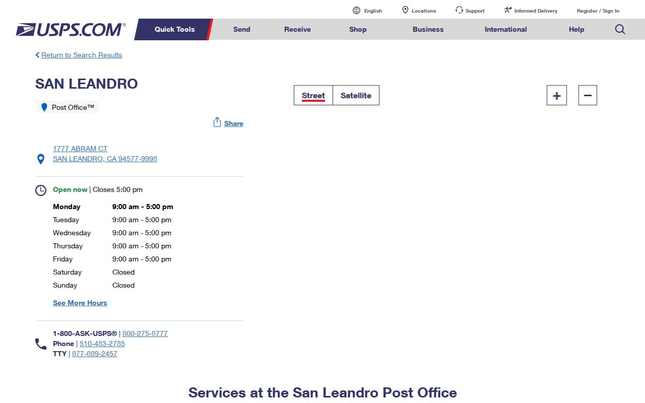
A station confirms postal service information. Alameda County confirms parcel and assessment jurisdiction.
Verify San Leandro ZIP With USPS
A full address is the useful input for a postal lookup. The ZIP code directory should preserve the standardized result, including any ZIP+4, before it is used in another database. City names are not enough because postal cities can span incorporated and unincorporated land, and local neighborhood names may not match the carrier's form.
| Full address | Enter the street number, street name, unit when present, city, state, and ZIP information. |
|---|---|
| By address | USPS returns the standardized postal form and ZIP or ZIP+4 used for delivery. |
| By city and state | Useful for confirming the documented city ZIP set, not a parcel-level boundary. |
| Station details | Shows a postal location serving the area; it does not define city services. |
| Next verification | Use Alameda GIS for situs, APN, city context, and parcel-level record routing. |
The USPS by-address lookup is the precise postal route. Keep a copy of the standardized address before using the San Leandro street directory for parcel-by-parcel work.
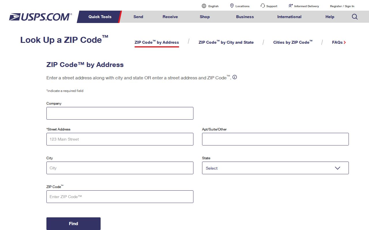
The full-address check protects against a false ZIP match caused by an old street form or missing unit.
Find San Leandro Residents By ZIP
No verified local portal offers a one-click ZIP-wide resident list. Alameda GIS accepts address or APN and permits map browsing. The Recorder is indexed by parties. My Voter Status is personal, and voter-file extracts require a statutory purpose. The ZIP code directory therefore routes a group of addresses to the right source rather than promising a single list of people.
Use this ZIP-to-record sequence:
- Verify the full postal address or the documented ZIP set with USPS.
- Sort the target streets or parcels by ZIP, then confirm each situs and city in Alameda GIS.
- Save APNs and latest instrument clues before moving to the Recorder's party index.
- Use a qualified voter-file process only when the purpose and scope meet California rules.
- For a historical question, add city directories, Haines, Sanborn maps, newspapers, or census evidence.
A ZIP is a useful first cut, not a substitute for an address. When one street is identified, the address record chain has more detail.
San Leandro ZIP Codes Route Mail
ZIP codes route mail. Alameda GIS establishes parcel context. City lines establish which local office handles permits, code cases, police resources, and city records. Elections and property records follow their own jurisdiction rules. The mismatch is most visible in 94578, where a San Leandro postal label can occur outside the incorporated city.
A parcel result exposes situs and mailing fields, but a mailing ZIP is not an owner or resident field. A tax address can point elsewhere. A homeowners exemption may support a cautious principal-residence inference, but no exemption does not prove another use. Preserve each field's meaning in the research note.
For a city service question, check the parcel's city and county context before sending a request. For a family-history question, keep the postal label, legal description, and dated directory address side by side.
San Leandro ZIP Portals Lack Lists
The absence of a ZIP filter is a research fact. The public Alameda parcel layer is address and APN based, with owner names omitted. The Recorder searches parties rather than ZIPs. The voter system is a self-check or qualified file. City records can be requested by an identifiable series, but the custodian does not need to construct a new ZIP-wide roster.
Aggregation can still be done carefully. Divide the ZIP into known streets or parcels, standardize each address, save the APN, and route each record request to the office that holds the data. Keep unincorporated Ashland separate from incorporated San Leandro even when both carry 94578.
A gap register is more useful than an invented number. It tells the next researcher exactly what must be confirmed with USPS, GIS, or the relevant custodian.
San Leandro ZIP Address Terms
Four address concepts often collide in ZIP research. Postal address is the standardized form used for delivery. Situs is the physical parcel. Mailing is the tax or assessment correspondence destination. Legal description is the recorded land language. APN ties the parcel layer to a book, page, parcel, or subparcel. None of these alone is a complete household list.
- ZIP versus ZIP+4
- The ZIP routes mail to a broad delivery area; the added four digits refine the carrier route or delivery segment.
- PO-box ZIP
- A ZIP may serve a postal facility or box route; no unique or PO-box-only San Leandro ZIP was identified.
- Unique ZIP
- A special code assigned to one institution or organization; none was verified for San Leandro.
- Carrier route
- A postal delivery path inside the broader ZIP geography, not a city or election boundary.
- Situs
- The place where the parcel sits, used for GIS, property, and city-jurisdiction checks.
Use the terms precisely when a ZIP code directory result is handed to a Recorder, Assessor, court, city, or library.
San Leandro ZIP Boundaries
San Leandro's ZIP geography overlaps its historical geography. The Northeast neighborhoods formed much of their grid between 1910 and 1940, while southern tracts and later development have different record patterns. ZIP lines may cross those eras without matching the street grid. A ZIP code directory is therefore a map index layered over history, not the history itself.
When an address disappears, test a renamed street, a new court, a new subdivision, or a city-line change. Ward Street became Estudillo in the historical record, and Herma Court first appears in 1925. Use APN, legal description, dated Sanborn sheets, directory street sections, and tract instruments to bridge the address.
The practical finish is simple: USPS for postal form, GIS for parcel and jurisdiction, Recorder for named instruments, and the local library for earlier residents. The ZIP code narrows the work without claiming more than the evidence can show.